

Wyoming rewards drivers who stop thinking of highways as empty space between national parks. The state’s scenic byways cross alpine passes, limestone canyons, high desert, river gorges and historic corridors, often with less traffic than the roads inside Yellowstone and Grand Teton. Some are easy year-round routes; others exist as practical road trips for only a few months each year.
The essential planning habit is to check each road independently. A sunny forecast in Cheyenne tells you little about the Snowy Range, and a clear road in Cody does not guarantee the Beartooth Highway is open. Use Wyoming 511 and the relevant land manager before departure, then build alternate routes into any itinerary that depends on a high pass.
Chief Joseph Scenic Byway is the northwest classic
WY-296 runs about 47 miles through the Absaroka Mountains between Highway 120 and U.S. 212. Dead Indian Summit, Sunlight Basin and the connection toward Cooke City make it one of the state’s most dramatic drives. It also carries important Nez Perce history, so stop for the interpretation rather than treating the road as scenery alone.
Cody is the easiest base. The byway can be combined with Yellowstone’s Northeast Entrance or the Beartooth Highway when conditions allow, but the high Beartooth road is strongly seasonal.
Snowy Range Scenic Byway compresses alpine scenery into a short day
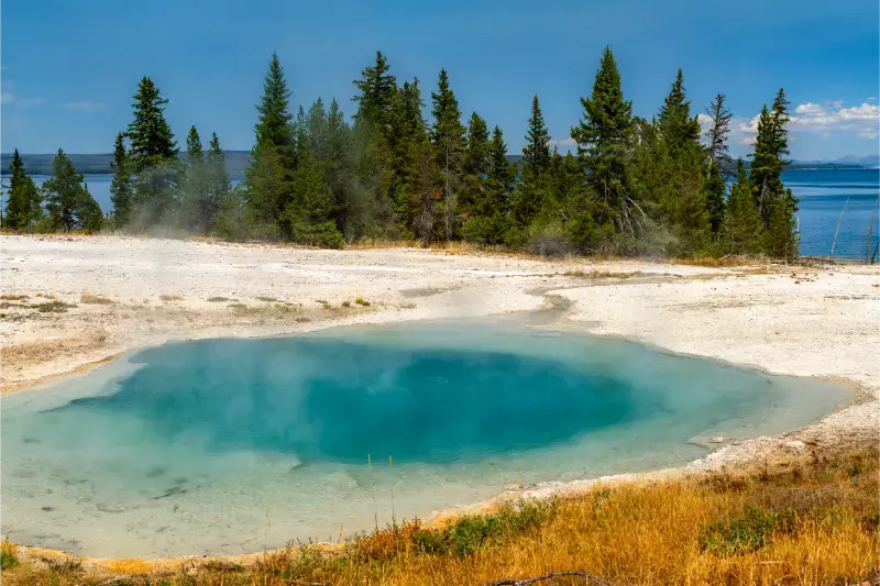
Wyoming Highway 130 west of Laramie climbs through Centennial into the Medicine Bow Mountains, passing Lake Marie, Libby Flats and trailheads below Medicine Bow Peak. The highest section closes in winter and can hold snow long after the lower basin turns green.
Use Laramie as a base for a day trip or continue one way to Saratoga when the pass is open. This is one of the best scenic-drive choices for travelers entering Wyoming from Colorado or Nebraska.
Cloud Peak Skyway crosses the Bighorns between Buffalo and Ten Sleep
Highway 16 moves from the open Bighorn Basin through Ten Sleep Canyon, forest and high mountain country before dropping toward Buffalo. Meadowlark Lake and trail access turn the route into a full day rather than a simple crossing.
This drive fits naturally between Thermopolis and Interstate 90. It also provides a strong alternative to routes farther north through Sheridan when your itinerary points toward the central Bighorns.
Wind River Canyon is a year-round geological corridor
U.S. 20/26 between Shoshoni and Thermopolis follows the Bighorn River through steep canyon walls and tunnels. Unlike Wyoming’s high alpine byways, the highway is a major transportation route and is generally usable far more of the year, though winter weather can still affect driving.
The canyon works particularly well because it leads directly to Thermopolis, allowing a short scenic drive to end at hot springs and dinosaur attractions rather than another remote pass.
Flaming Gorge and southwest Wyoming offer high-desert scenery
Routes around Green River, Rock Springs and Flaming Gorge trade alpine peaks for red rock, reservoirs, open basins and long horizons. The Flaming Gorge–Green River Basin Scenic Byway can be integrated into a Utah-Wyoming loop or used as a quieter alternative to the national-park corridor.
Fuel planning matters more here because towns are farther apart. Wind is also a major factor for RVs and high-profile vehicles, even on clear days.
Buffalo Bill Cody Scenic Byway is the dramatic approach to Yellowstone
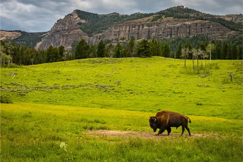
West of Cody, U.S. 14/16/20 follows the North Fork of the Shoshone River through volcanic cliffs toward Yellowstone’s East Entrance. Lodges, trailheads and wildlife habitat make the corridor worth exploring even if you are not entering the park that day.
The East Entrance is seasonal, so a through-route into Yellowstone depends on park road status. If the entrance is closed, the highway remains a scenic out-and-back only as far as public access allows.
A one-week scenic-drive route should choose a region, not the whole state
One strong northern loop can connect Cody, Chief Joseph, Yellowstone, Thermopolis, Ten Sleep and Buffalo. A southern loop can link Cheyenne, Laramie, Snowy Range, Saratoga, Rock Springs and Flaming Gorge. Trying to combine both in seven days creates long interstate transfers that undercut the reason for choosing scenic roads.
With two weeks, combine north and south through Casper or central Wyoming. The extra nights let you hike, visit museums and wait out bad mountain weather instead of using every day as a driving stage.
Where to stay
Compare available accommodation for your dates, budget and preferred location before you finalize your route.
Choose lodging at the ends of scenic drives rather than in the middle unless you specifically want a mountain lodge or campground. Cody, Laramie, Saratoga, Buffalo, Ten Sleep, Thermopolis and Rock Springs all make useful bases. Book high-season lodging early near Yellowstone and around major events.
Affiliate disclosure: we may earn a commission from qualifying bookings at no extra cost to you. Compare places to stay on Booking.com. Check the map location, parking, cancellation terms and the next morning’s driving time before booking.
Best time to visit
July through September gives the widest access to high passes, while June can still bring snow and October can close routes surprisingly early. Lower-elevation canyon and basin roads remain practical much longer. Winter scenic driving should focus on maintained highways with current condition checks rather than summer byways that are buried or gated.
Driving, weather and safety
Check fuel, wind, road status and daylight before each drive. Pull fully off the road for photos, use lower gears on long descents and give motorcycles, bicycles and wildlife extra room. RV drivers should take wind warnings seriously; a blue sky does not mean safe conditions for a high-profile vehicle.
Wyoming rewards conservative schedules. Distances between towns are large, mountain weather can change within one drive and wildlife can slow traffic without warning. Keep fuel above a comfortable reserve, download maps before leaving reliable service and avoid making an evening hotel check-in depend on perfect road conditions.
Before a remote day, check Wyoming 511 plus the official park, forest or historic-site page for the exact destination. A road can be open while a trailhead, campground, visitor center or connecting pass is closed. Saving those pages offline is useful when cellular service disappears.
How this stop fits into a Wyoming itinerary
Read the detailed guides to Chief Joseph Scenic Byway, Snowy Range, Ten Sleep and Cloud Peak Skyway, Flaming Gorge, and Thermopolis. The 10-day Wyoming itinerary provides a broader framework for combining them.
For the broader picture, use the Wyoming travel hub to compare regions before adding another long transfer. A good Wyoming road trip usually has fewer bases than first-time visitors expect, with two or three nights in places where weather or wildlife can change the day.
Practical pacing for this part of Wyoming
Do not measure a visit to Wyoming Scenic Drives only by attraction count. The most useful schedule leaves room for a slower meal, an unexpected overlook, a ranger conversation or a weather delay. Start the day with the activity that is most sensitive to parking, heat or thunderstorms, then keep the afternoon flexible. This approach is particularly valuable in Wyoming because the distance to the next town can be much greater than it appears when reading a list of stops.
If you are combining this stop with a national park, resist the urge to place a major hike, a long scenic drive and a multi-hour transfer on the same day. Choose one primary experience and one secondary stop. That keeps children and adults fresher, gives wildlife traffic less power over the schedule and makes it easier to change plans when a road or trail is temporarily unavailable.
Carry a paper or downloaded map even if you normally navigate by phone. Save the address of your lodging, the nearest fuel stop and at least one alternate route before leaving town. When a storm, wildfire response or construction closure changes access, having those basics available offline is more useful than trying to rebuild the day from a weak signal beside the road.
Small choices that make the visit better
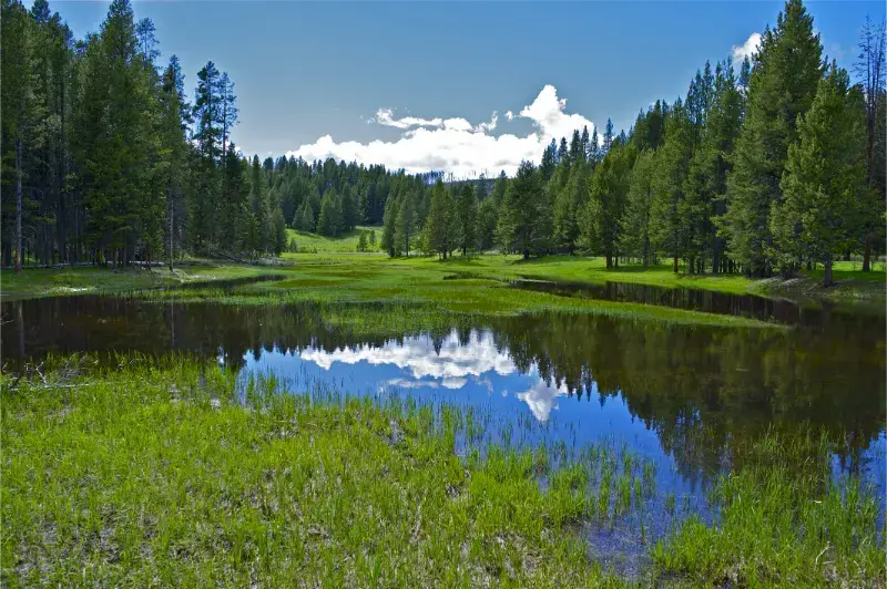
For Wyoming Scenic Drives, the difference between a rushed stop and a satisfying visit is usually one extra hour rather than one extra attraction. Arrive with enough daylight to orient yourself, identify the next fuel or food stop and understand the road you will use when leaving. If the destination has a visitor center or ranger desk, ask what has changed recently; local closures, water levels, construction and seasonal services can matter more than a generic itinerary written months earlier.
Build meals into the route instead of assuming a restaurant will appear exactly when everyone is hungry. Small Wyoming communities may have limited hours, especially outside summer weekends. Carry water and a simple backup meal, then use local cafés and stores when they fit naturally. This keeps a delayed hike or wildlife stop from turning into an unnecessary rush toward the next town.
Finally, leave one optional item on the schedule. If weather stays good, use it for a short trail, museum, overlook or evening walk. If conditions deteriorate, drop it without feeling that the trip failed. That flexibility is one of the most useful habits in a state where high elevation, wind and long distances can change the pace of a day very quickly.
Frequently asked questions
What is the best scenic drive in Wyoming?
It depends on your route. Chief Joseph is outstanding near Cody, Snowy Range is ideal near Laramie, and Cloud Peak Skyway is excellent between Thermopolis/Ten Sleep and Buffalo.
Which scenic drives are seasonal?
Many high-elevation routes are seasonal, including the Snowy Range and Beartooth connections. Always check current status rather than relying on a calendar date.
Do I need four-wheel drive?
No for the paved scenic byways covered here. Backcountry byways and side roads can be unpaved and may require different vehicles or conditions.
Can I do several byways in one day?
Sometimes, but the trip is better when you allow time for overlooks, short walks and weather delays. Two major mountain drives in one day can become more exhausting than scenic.