

Driving from Los Angeles to San Francisco can be a six-hour transfer or one of the best road trips in the United States. The difference is the route. Interstate 5 is the fastest practical option when time matters; Highway 101 adds attractive towns with less drama; Highway 1 delivers the famous Pacific coastline but requires more days, more flexibility and careful checks for closures.
For a first coastal trip, allow 5 to 7 days between Los Angeles and San Francisco. That gives Santa Barbara, the Central Coast, Big Sur and Monterey enough space to feel like destinations rather than fuel stops. This guide gives you a classic route and, importantly, explains what to do when Highway 1 is not fully open.
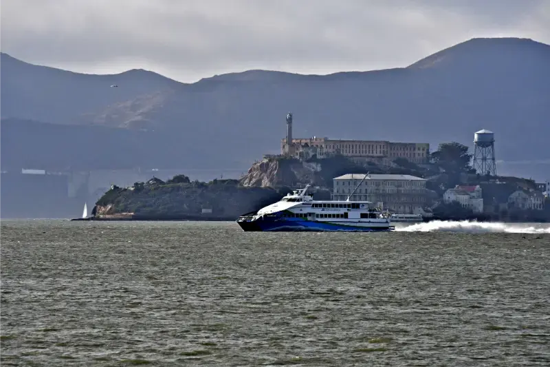
- 1Los Angeles → Santa Barbara
- 2Santa Barbara → San Luis Obispo / Pismo
- 3SLO/Pismo → Cambria
- 4Cambria → Big Sur / Monterey
- 5Monterey & Carmel
- 6Monterey → San Francisco
LA to San Francisco route options
| Route | Best for | Typical character |
|---|---|---|
| I-5 | Fast transfer | Mostly inland freeway; choose when the road trip is not the goal |
| US 101 | Reliable scenic compromise | Towns, wine country edges and easier logistics |
| Highway 1 | Iconic coast road trip | Slow, spectacular and vulnerable to closures/weather |
Important September 2026 Highway 1 note
Highway 1 through Big Sur reopened after the Regent’s Slide project, but fire operations have caused new temporary closures in 2026. As of early September, Caltrans had lifted the northern Timber Fire closure while a southern closure supporting the Plaskett Fire remained in place from Pacific Valley to the Monterey/San Luis Obispo County line. US 101 was the recommended alternate route.
This is exactly why a Pacific Coast itinerary should never be booked around an assumption that Highway 1 is continuously open. Check Caltrans QuickMap immediately before the trip and again on driving day. Fire, landslides, storms and construction can change access quickly.
The classic 6-day Los Angeles to San Francisco itinerary
| Day | Route | Best stops / overnight |
|---|---|---|
| 1 | Los Angeles → Santa Barbara | Malibu if desired, Santa Barbara waterfront and downtown |
| 2 | Santa Barbara → San Luis Obispo / Pismo | Santa Ynez optional, coastal towns, relaxed evening |
| 3 | SLO/Pismo → Cambria | Morro Bay, Cayucos, Hearst Castle area depending interests |
| 4 | Cambria → Big Sur / Monterey | Highway 1 only if current conditions allow; Big Sur viewpoints and state parks |
| 5 | Monterey & Carmel | Monterey Bay, Carmel, 17-Mile Drive or Point Lobos |
| 6 | Monterey → San Francisco | Santa Cruz optional, Half Moon Bay depending route/time, arrive SF |
Day 1: Los Angeles to Santa Barbara
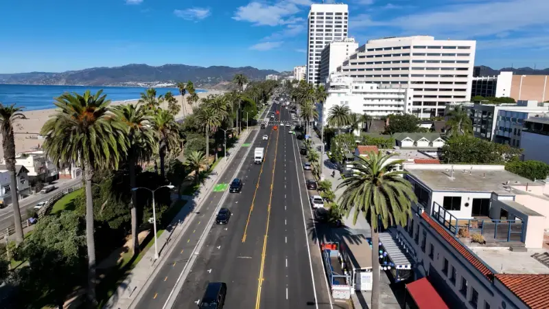
Leave Los Angeles after morning rush if possible, unless you are deliberately starting with Malibu. Santa Barbara is a strong first overnight because it feels immediately different from LA: lower-rise architecture, a compact waterfront, palm-lined streets and a calmer evening. Use our Santa Barbara travel guide for where to stay and what deserves time.
Do not try to combine a full Los Angeles sightseeing day with the drive north. LA traffic can consume the buffer you thought you had, and Santa Barbara is worth arriving before dinner.
Day 2: Santa Barbara to San Luis Obispo or Pismo
This is a flexible day. You can route through the Santa Ynez Valley for wine-country scenery, stay close to the coast, or focus on San Luis Obispo and Pismo Beach. The goal is not maximum mileage; it is positioning yourself for the northern Central Coast without entering Big Sur late in the day.
Day 3: Morro Bay, Cambria and the Hearst Castle coast
Morro Bay adds harbor scenery and the distinctive Morro Rock, while Cambria is a comfortable small-town base near Moonstone Beach. Hearst Castle can become the day’s main scheduled attraction if you want a tour. Book timed attractions before building the driving plan around them.
If Highway 1 south of Big Sur is closed, Cambria may become the point where you need to return to US 101 rather than continue north along the coast. This can add major driving, so verify conditions before leaving your overnight base.
Day 4: Big Sur—only if the road is actually open
When Highway 1 is open through Big Sur, this is the defining road-trip day. Bixby Creek Bridge, coastal pullouts, redwood canyons and beaches create a continuous landscape rather than a list of attractions. The mistake is trying to stop at every turnout. Choose a few major stops, protect daylight and never park illegally on narrow shoulders.
Our Big Sur travel guide covers state parks, viewpoints and closure planning in more detail. If the road is closed, use US 101 and treat Monterey/Carmel as the next major destination rather than attempting unofficial detours.
Day 5: Monterey and Carmel
A full day here is justified. Monterey Bay Aquarium can anchor the day, while Carmel-by-the-Sea, Point Lobos and 17-Mile Drive compete for the remaining hours. Pick two or three rather than forcing all of them. See the Monterey & Carmel guide.
Day 6: Monterey to San Francisco
The direct US 101 route is efficient. A coastal variation via Santa Cruz and Highway 1 toward Half Moon Bay adds scenery but also time and potential traffic. Arrive in San Francisco with enough daylight to return the rental car if you do not need it in the city; parking can be expensive and a car is unnecessary for many first-time itineraries.
Continue with our San Francisco travel guide and where to stay in San Francisco.
Should you drive northbound or southbound?
Southbound is often praised because coastal pullouts are on the ocean side of Highway 1, but direction should not override the rest of your itinerary. Northbound works perfectly well and can fit naturally after Southern California. What matters more is daylight, road status and not rushing Big Sur.
5 days vs 7 days
With five days, remove one Central Coast overnight and keep stops disciplined. With seven days, add a second night in Santa Barbara or Monterey/Carmel, or spend a night in Big Sur when lodging and road conditions align. The seventh day adds more quality than adding another ten roadside stops.
Where to stay
Compare available accommodation for your dates, budget and preferred location before you finalize your route.
- Santa Barbara: waterfront/downtown for an easy first night.
- San Luis Obispo or Pismo: practical mid-coast position.
- Cambria: small-town base before Big Sur when Highway 1 access permits.
- Big Sur: spectacular but expensive and limited; reserve well ahead.
- Monterey/Carmel: best two-night base for the northern Central Coast.
Compare accommodation: compare hotels and other stays on Booking.com.
Road-trip mistakes to avoid
- Treating Google Maps driving time as the itinerary. Scenic stops, parking and roadwork add hours.
- Booking non-refundable Big Sur lodging without understanding closure access from both directions.
- Driving Big Sur after dark just to keep a reservation.
- Keeping a rental car in San Francisco without a clear need.
- Trying to add Yosemite to the coastal route without extra nights; it is a separate inland detour.
Official resources
- Caltrans QuickMap — live California road closures and traffic.
- Caltrans District 5 — Central Coast and Big Sur updates.
- Visit California Road Trips — official statewide road-trip planning.
Food, fuel and practical stops on the coast
Fuel is easy in the major towns but much less convenient in remote Big Sur. Top up before entering long scenic sections, especially if road closures could force a backtrack. Carry water and snacks so a closed cafe or long restaurant queue does not dictate your driving day.
For meals, save destination dining for Santa Barbara, San Luis Obispo and Monterey/Carmel, where alternatives exist if plans change. In Big Sur, reserve ahead if a specific restaurant is important and keep expectations flexible around road access.
A practical planning checklist
- Check official road, weather and operating conditions again 48–72 hours before travel.
- Keep at least one flexible block in the itinerary for traffic, weather or an attraction closure.
- Download offline maps and reservation confirmations before entering low-signal areas.
- Avoid stacking a long transfer, a timed attraction and a late hotel check-in on the same day.
- Recheck parking rules and opening hours on the morning of high-demand activities.
California trips work best when the itinerary distinguishes fixed reservations from flexible sightseeing. Reserve the experiences that truly need a time slot, then leave enough unscheduled space to adapt. That approach is especially valuable on coastal, mountain and desert routes where conditions can change faster than the travel plan.
What if Big Sur is closed?
Do not cancel the entire Los Angeles–San Francisco road trip. Keep Santa Barbara, San Luis Obispo, Cambria if accessible from the south, and Monterey/Carmel from the north, then connect the two halves via US 101. You lose the continuous Highway 1 traverse, but you still retain several of California’s best coastal destinations.
The alternative can require backtracking from Cambria toward Paso Robles before rejoining 101, depending on the exact closure. Build the detour from current Caltrans information, not from an old route saved in a navigation app.
Electric car planning on Highway 1
EV charging is easy in the larger coastal cities and towns but requires more awareness in remote sections. Charge before entering Big Sur, especially if road access is uncertain or you are staying at a property without reliable overnight charging. Cold, hills and detours can change real-world range.
Do not choose a lodging property based solely on a generic “EV charger” icon. Confirm connector type, number of stalls, whether charging is reserved for guests and whether it operates overnight.
Best road-trip pace for photographers
Photographers should avoid the instinct to chase both sunrise and sunset in different towns every day. Select one strong light window per day, then leave the other flexible. Big Sur in particular benefits from time to wait for fog, coastal light and changing visibility rather than racing between named viewpoints.
A tripod or camera bag is never a reason to stop in an unsafe shoulder. Use designated pullouts, remain behind barriers and keep roadways clear. Some of the best images come from legal trails and overlooks a few minutes from the car.
How to make this stop fit a larger California itinerary
The most successful California itineraries are built around geographic clusters rather than a list of famous names. Keep nearby experiences together, allow a realistic transfer day when moving between regions and avoid reserving every hour. A flexible afternoon can absorb traffic, weather, road closures or simply the desire to stay longer somewhere that exceeds expectations.
Before departure, review the California state hub and the linked regional guides to make sure the stop sits naturally between the destinations before and after it. If adding this article’s destination creates a long out-and-back detour, it may belong on a future trip rather than the current one.